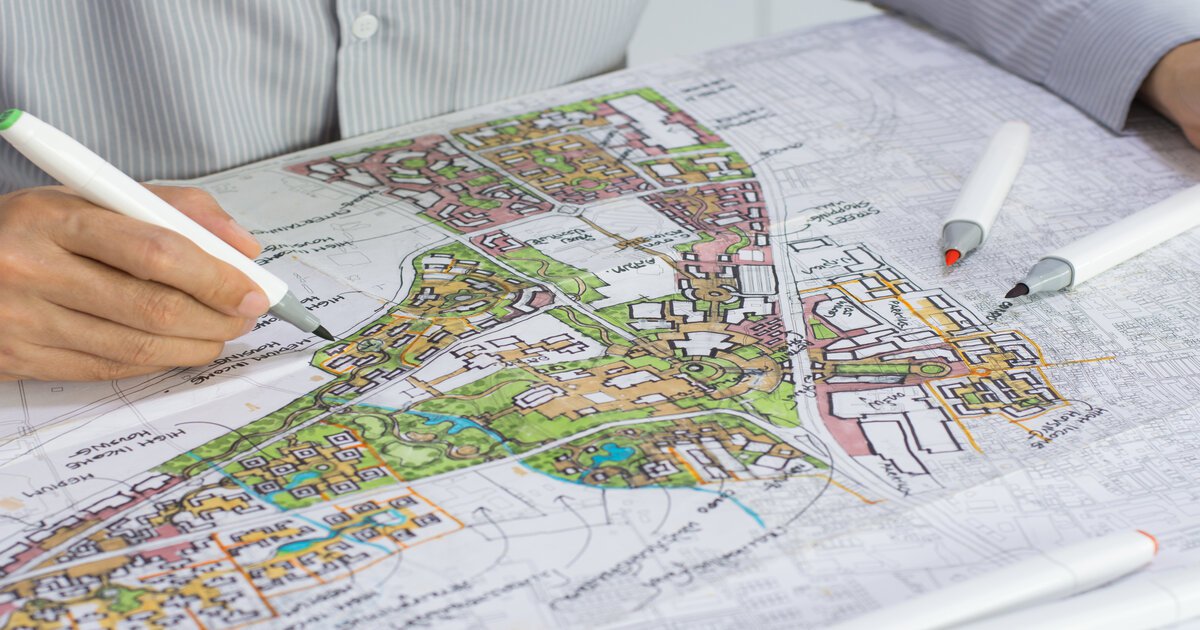
The short version. You can find where your property boundary lines run on paper yourself. Take the legal description from your property tax notice, then buy the registered survey plan through ARLO, the province’s land titles system. The Land Titles tariff fee for a digital plan is $2. The plan shows the boundary dimensions and the survey markers. To see the line on the ground, you need an Alberta Land Surveyor to survey the boundary lines. Online maps are approximate, fences may not follow the line, and only a surveyor may set or restore a marker.
Step 1: Find your legal description
Your legal description identifies the parcel in the land titles system. In a city it reads as a plan, block and lot number. The province says you can find it on your property tax assessment notice or property tax bill.
The certificate of title also states the legal description and the parcel’s LINC number (Government of Alberta). In Calgary, the City sells a Parcel Key Cross Reference report that gives the legal description from an address. It cost $13 on 9 October 2026 (City Online).
Step 2: Get the registered survey plan from ARLO
The registered survey plan is the document that shows your boundaries. Alberta’s land registry now offers ARLO, the Alberta Registry for Land Online. The province plans to switch off the older SPIN2 system in early December 2026, once ARLO becomes the system of record.
To get your plan:
- Search. ARLO searches survey plans by plan number or by Alberta Township System description. You can preview a low-resolution copy without signing in.
- Sign in and buy. Buying needs an Alberta.ca account, which is separate from a SPIN2 login. ARLO takes Visa, Mastercard, American Express, Visa Debit and Mastercard Debit.
- Download. The high-resolution plan is available for five calendar days after purchase.
A digital copy of a registered plan costs $2 and a paper copy costs $3. Those are the fees in the Land Titles Tariff of Fees Regulation, consolidated 1 October 2026. Rural township plans are $2 plus GST per township in digital form, and field notes are free (Government of Alberta). Registry agents can also order plans for you, and may add their own service charge.
Step 3: Read the survey plan
The plan gives your lot’s boundary lengths and directions, and shows where the survey markers were placed. ALSA describes a survey plan as a drawing that “pictorially represents the legal boundaries and dimensions of a surveyed parcel of land.” It “identifies the type and location of monuments or survey posts to define boundaries” (ALSA).
The markers in the ground govern the boundary, even where the plan’s numbers differ. Section 45(4) of the Surveys Act says surveyed boundaries are defined by the monuments placed. That holds “whether or not the dimensions or areas expressed on the plan are found by re-measurement to be different.”
Measuring from the plan with a tape is where most owners go wrong. ALSA says that when owners try to locate their own lines, “they almost always get the location wrong.” Some markers are also set on an offset, away from the line itself.
Step 4: Look for the markers, and leave them where they are
Alberta boundary markers are usually metal pins at the lot corners. ALSA’s boundary marker brochure says a surveyor “typically inserts a one metre-long metal pin at the exact intersection of property lines.” Older markers can be wooden posts, rock posts, earth mounds or blazed trees.
Finding a pin does not tell you whose line it marks. ALSA notes there is often “more than one in an area or none at all.” Some pins relate to roads or rights-of-way. A metal detector can show that metal is in the ground. It cannot show whose pin it is or whether it has moved.
Do not dig a marker out, move it or replace it. Section 50(3) of the Surveys Act makes it an offence to pull down, alter, deface or remove a survey monument. The only exception is written permission from the Director of Surveys. The fine is up to $10,000. ALSA says re-establishing destroyed survey evidence costs “hundreds to thousands of dollars.”
Why online maps don’t show your legal property line
Government parcel maps are drawn from survey data and come with a stated margin of error. Alberta’s own parcel layer, distributed through AltaLIS, gives its accuracy as “less than 0.15 metres in urban areas to up to 3.0 metres in rural areas” (Government of Alberta metadata).
The map publishers say the same in their disclaimers:
- ARLO’s parcel map is “for visual reference only.”
- Edmonton’s map site says its information is “intended to serve only as a first step in researching the land use status of a parcel.” It advises users “not to rely on the information presented in the maps alone” (City of Edmonton).
- Calgary’s MapView says the City “makes no warranty whatsoever as to the accuracy of the data provided” (City of Calgary).
We found no Google statement on how Google Maps draws Alberta parcel lines. Use any online map to find your lot and its neighbours. Do not use one to place a fence or a building.
Why your fence or your RPR may not mark the line
An existing fence may not follow the boundary. ALSA says “the current location of that fence may not accurately represent the property boundaries.” Alberta abolished adverse possession on 15 December 2022 (Law of Property Act, s.69.1), so an old fence does not transfer land by time alone.
A Real Property Report shows your boundaries on paper, with the buildings measured to them. ALSA states that RPRs “are not intended to be used to locate boundaries.” Unless the report says otherwise, no corner markers were placed during the RPR survey (what an RPR shows).
When to call an Alberta Land Surveyor
Have an Alberta Land Surveyor survey boundary lines when they have to be right on the ground:
- before you build a fence, garage or addition near the line
- when a pin is missing, bent or disturbed
- when the fence and the plan’s dimensions disagree
- when a neighbour disputes where the line runs
In Edmonton, a new house permit needs a plot plan prepared by an Alberta Land Surveyor, with the property lines shown and labelled (City of Edmonton).
Only an Alberta Land Surveyor may set, re-establish or restore a monument (ALSA). If a pin has to be replaced, ALSA notes that a new plan of survey is prepared and filed at Land Titles. Our post on land survey costs in Alberta explains what moves a quote.
For a new fence, order a fence line survey, which marks the boundary along the fence route. To settle where a line runs, order a boundary survey. We do both across Alberta from our Edmonton office. To split one lot into two, we handle the subdivision from the application to registration at Land Titles.
Technically reviewed by the ProtechGeo Principal Alberta Land Surveyor (ALS).
General information about Alberta surveying requirements, not project-specific or legal advice. Site-specific work requires a defined scope. Surveying services are provided in Alberta only. Fees and the SPIN2 retirement date are as published on 9 October 2026; this post will be reviewed after SPIN2 is switched off.